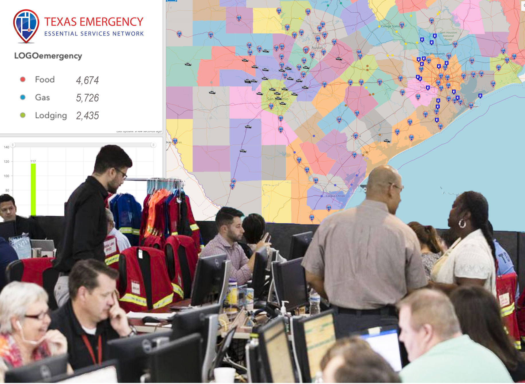
ArcGIS technology is a powerful tool that Texas Emergency operates within. The Essential Services Network is successful because of its implementation.
Categories: Gallery
ArcGIS technology is a powerful tool that Texas Emergency operates within. The Essential Services Network is successful because of its implementation.
In discussing the concerns of natural disaster scenarios, we thought we’d need expert advice above all else. After interviewing oil and gas experts, policy leaders at Texas Food & Fuel Association, and individual operators of Read more…

We’re whipping up fresh content for ya! Keep checking back!